Ptarmigan Summit - June 03, 2006 (under
construction)
At the summit, I had the worse weather. The sky went completely
overcast (and cleared up on the descent). The Lower Blue River Valley
was hazy. Despite that, I had no trouble seeing the 14er "Mount of the
Holy Cross" , 28.8 miles away (according to the software).
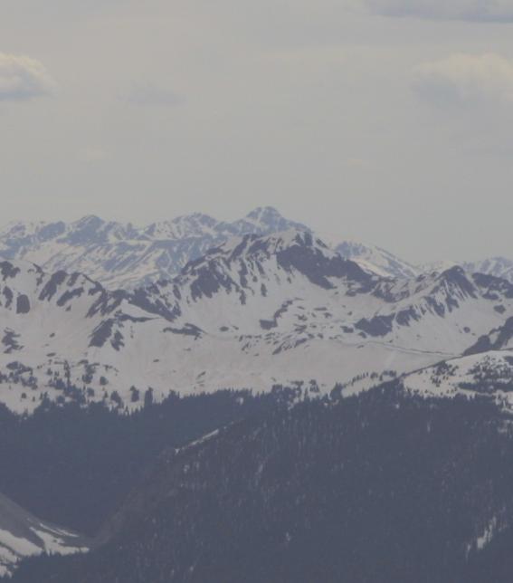
It is seen here looking through Red-Buffalo Pass. I suspect in the
summer when the snow is completely gone I would not be able to identify
it.
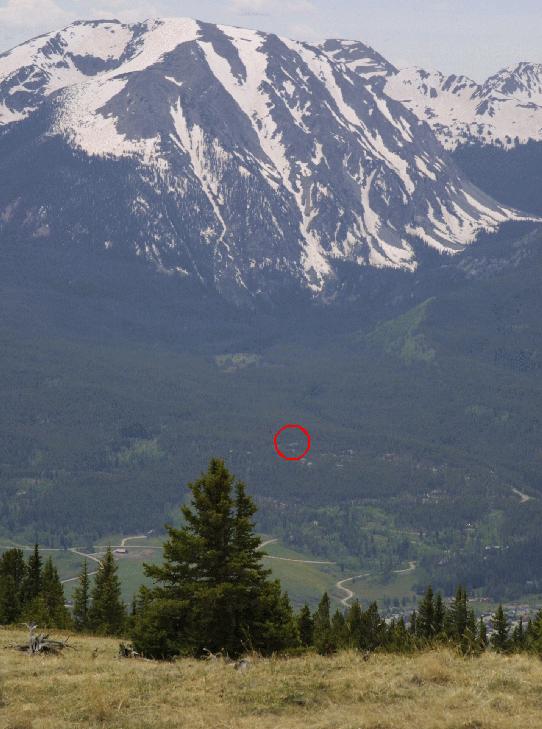
From lower down the mountain, I could see our house:
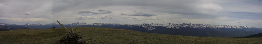
The following pictures are from the summit. I did not have the tripod,
so the stitching is not the best. Each of these stitched pictures is 4
to 5 pictures each:
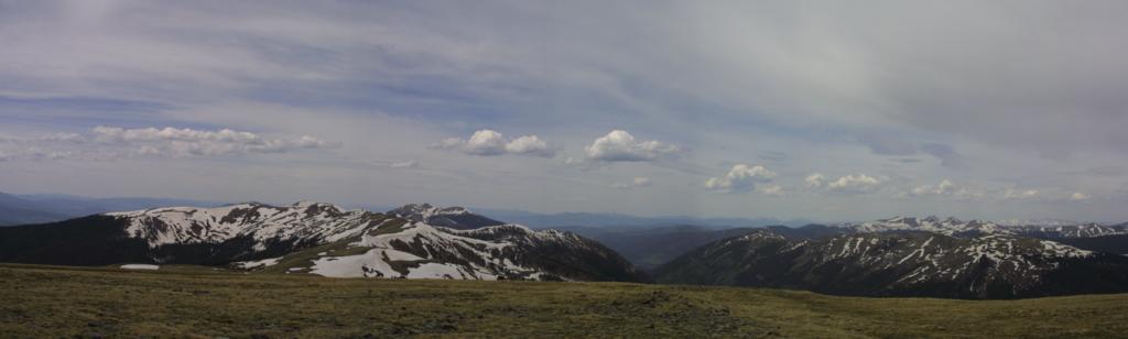
Starting looking South and West, with Guyot and Baldy on the left of
the picture, and Buffalo and Red a bit to the right of center:
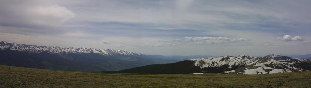
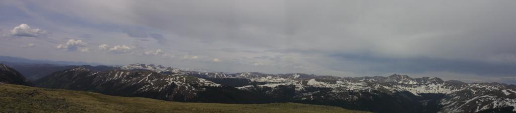
Continuing to look North with Ute Peak on the right and Green Mt
Reservoir (not really seen) in the center:
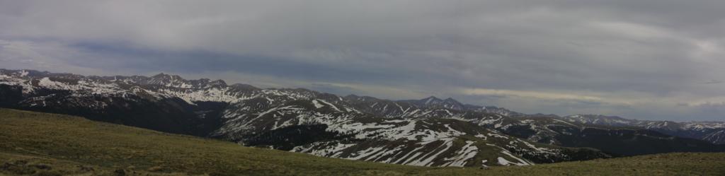
Continuing the swing, looking towards the Williams Fork Valley:
Continuing the swing in the clockwise direction:
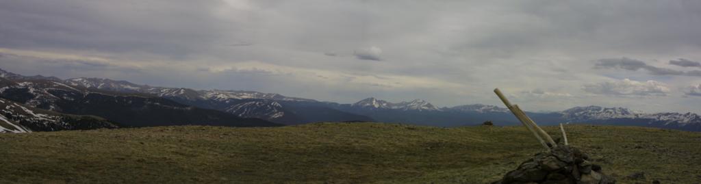
Continuing, Grays and Torres make their appearance:
And completing the circuit:
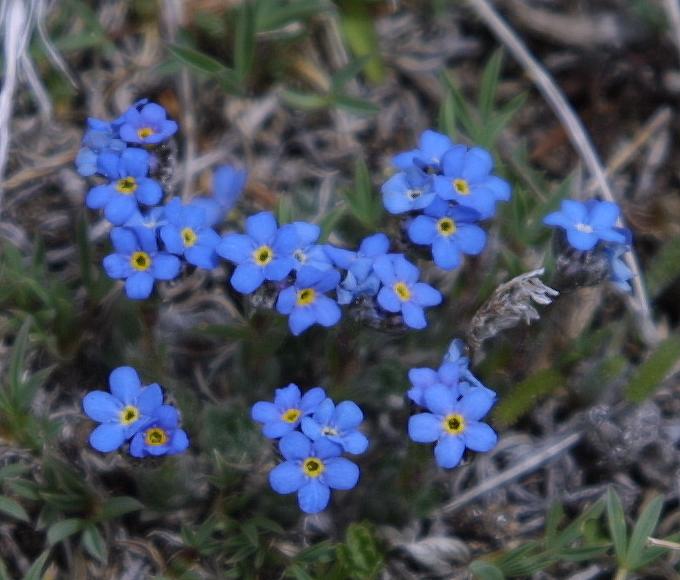
Some of my favorite high alpine flowers:
Perhaps another hike this weekend with my extension tubes and a
mini-tri-pod to get a better picture.
Back to Ptarmagon June 3, 2006 Main
Back to Hikes Page
Back to Snowedunder Home
Feedback to:

This page last updated June 5, 2006