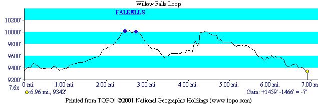
And the profile
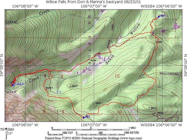
This is a hike we took with our guests Jamie, Morgan and Rachel, who were up visiting from Alabama and Minnesota.
The hike was from our house up to Willow Falls, and on the trip back, we split up, with Marina and Rachel going directly home, and the rest of us completing the loop using the Buffalo Cabin Trail.
The hike to the falls alone is 2.5 miles. The total hike using the loop was closer to 7 miles total (an extra two miles for you math majors).
And the profile
I am not sure how much I believe the steeper gradients, there is no doubt that the steep part at mile 4.3 is steep, but it is not vertical.
We left our house at 9:00 am and hiked on the Ruby Ranch Spur to the Mesa-Cortina. For those of you reading this not living on or visiting as guests at the Ranch, you will have to find other access to the Mesa-Cortina. The Mesa-Cortina from this point to its end at the South Willow Brook is an old jeep road from the ranch. The morning and early afternoon was characterized by low clouds, so the pictures we took were not the ideal scenic pictures. Examples of what the morning was like can be seen here and here.
There is very little elevation gain for this portion of the hike. The trail is well traveled, with access points from the South at the Mesa-Cortina trail head, Ruby Ranch, and the Willowbrook development. Traveling to the South Fork, you may encounter muddy spots, especially at the following locations: 1) right after the Ruby Ranch Spur meets the Mesa-Cortina (this is also where the Willow Brook trail comes in) and 2) just before the South Fork of Willow Brook. The bridge crossing the brook is a three log bridge, which our dogs negotiate without difficulty.
Immediately after the bridge, the Mesa-Cortina trail ends and becomes
the Gore Range Trail. A sign will mark this, with a narrow trail
coming in on your right. If you go right, you hike north on the Gore
Range trail, paralleling Colorado Route 9. The hike to Salmon Lakes went
this way. Our hike continues straight on the old jeep road.
After a brief climb away from the creek, the path levels out. After
a short hike you will arrive at the first meadow. On your left will be
Buffalo Mountain and on the right Red Mountain. After going through
a couple of more meadows, the trail narrows to a footpath and you arrive
at the Buffalo Cabin trail on your right, at 1.9 miles.
At this point the trail starts to climb. It passes a couple of small springs / creeks, a scree field, coming at last to the Willow Falls area. The remains of a foundation of a log cabin mark this area, and the falls are about 20 yards beyond. This is about 2.5 miles out.
Assuming that you don't want to go to the falls (a popular destination
on the weekends), just before you come to the log cabin, the trail
will take a 90 degree turn to the right and start to climb again. Most
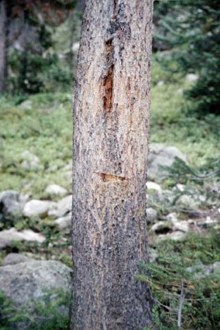
people will miss this turn. A tree on the left (not right) has a blaze
on it, right where the trail divides:
Coming back from the falls, you will see a tree with a white arrow:
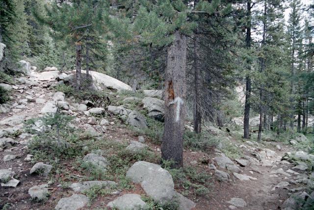
The right hand trail heads back down, and the left hand trail heads
up towards Eccles and Red-Buffalo passes.
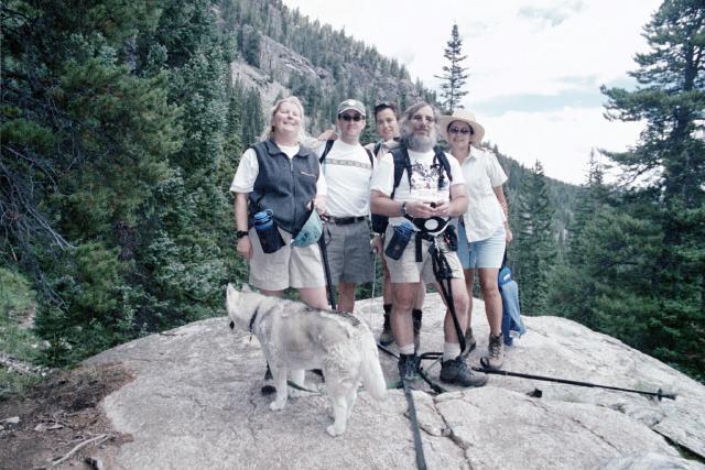
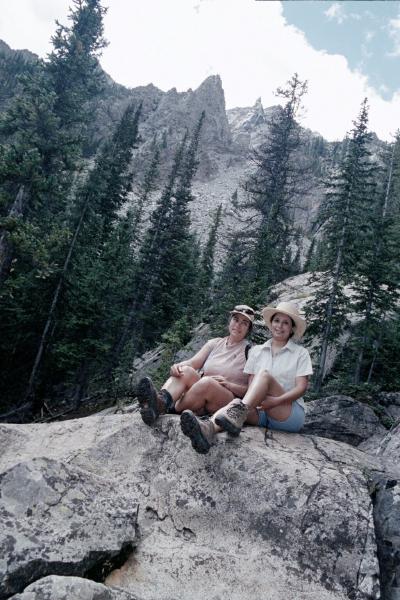
All of us at the overlook a couple of hundred yards before the falls
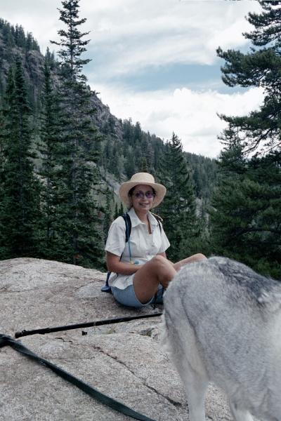
Rachel at the same overlook
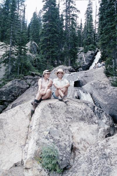
Jamie and Rachel at the falls.
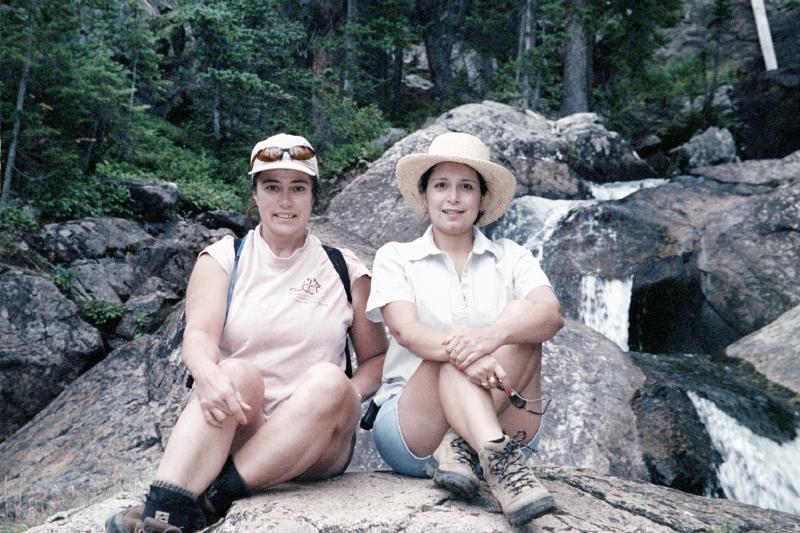
A better picture of Jamie and Rachel
I tried for art here, but had the camera rotated while on my back, oh
well....
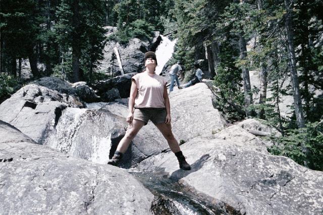
Can't forget Morgan, can we
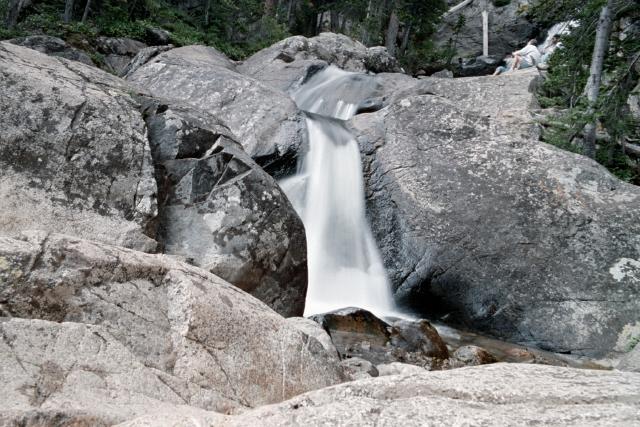
Part of the falls with a long exposure
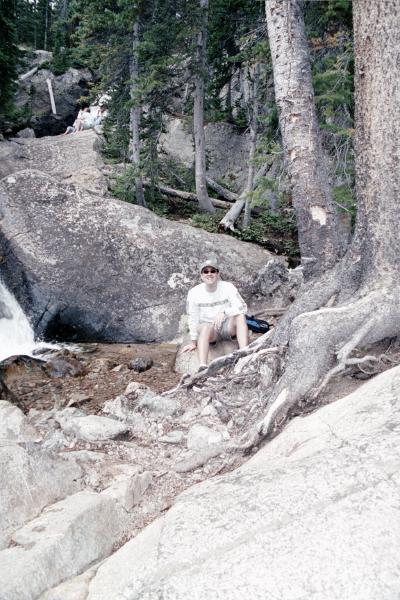
Jamie
This page last updated September 9, 2001