On July 9, a gorgeous day, John Drake and myself did our 2nd "Fourteener", Mt. Bierstadt. We left John's house in Ruby Ranch by car at approximately 6:45 am. We drove east on I-70, getting off at the Georgetown exit. We followed the signs in Georgetown to get us on the road to Guanella Pass. We arrived at the pass, and started our hike at 7:50 am.
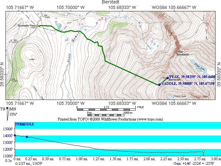
As usual on these hikes, I passed no one going up the mountain, and had plenty of people pass me. Here is the sketch of our hike from the Wildflower topo software. This was an easy one to make as the whole map is contained in one of their regions.
In making this map and profile, you will note that the profile is backwards. This is because I saved the track log on the Garmin at the peak and re-started it for the descent. In comparing the two logs, I liked the descent better. I don't know how to invert the profile in the Wildflower software.
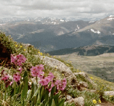
Anyway, as you can see, the hike actually starts out with a descent, before beginning the ascent to the summit. The hike starts off above timberline, and descends through Willow bushes. The low point of the hike is reached when "Scott Gomer Creek" is crossed. This was the only significant water that we encountered on the hike, and the crossing was easy.
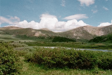
Here is a sample of what the lower part of the hike looks like:
The Willows continue until basically where the route becomes a straight line heading ESE. At that point it is just alpine meadow until the "Saddle". One is not fooled by false summits on this part of the hike, but rather false ridges. I took 50 steps and rested, and eventually conquered the slope. John, as usual, raced on ahead, and reached the summit 25 minutes ahead of me.
Right before the "Saddle", the meadow turns to a scree field. This scree,
however is not loose, so I had no problems either up or down. From the
saddle to the summit is also scree field, again not loose. At the summit,
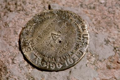
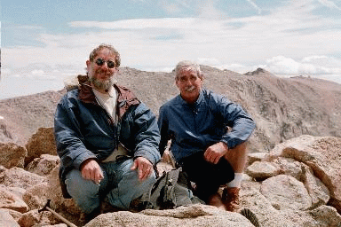
there is a USGS marker and a book to sign in.
Proof that someone (me) was at the top.
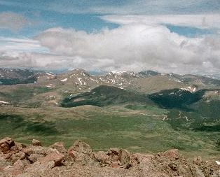
The view from the top was outstanding. Although the usual haze was around, you could see Pikes Peak as well as Denver and the plains.
Here are some other pictures from or near the top:
This picture will give you an idea of the scree. John was more nervous
about this than I was. I think I was suffering from the altitude. John
points out he would not take a small child up to the top.
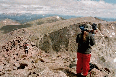
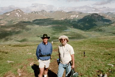
Here are some views of the summit from below:
The summit is off to the upper left of the picture. I don't know who
these to gentlemen are, but I told them I would post the picture with them
in it.
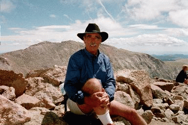
And from the same spot they took this:
If you look carefully over my hat, you will see a lake and a road just
beyond. That is where the car was parked.
Here is another view with no people:
On the way back down, once I entered the meadow, I took out my camera
and tried for some good pictures.
In all honesty, I did not get any that I was really happy with. However
here are two:

John really liked these.
And