If we wanted to just do Arches, we could have done it in a day trip, although we would not see the whole park. As it is we only hiked a small portion, albeit one of the more difficult portions of the park.
We left our house early in the morning and drove on I-70 out to Grand Junction, where we had an early lunch. We then continued on to the park. If we wanted to get there as quickly as possible, we would have stayed on the Interstate all the way to US 191 and then dropped south to the park. Instead, we got off of the Interstate early at state road 128. This road soon joined the Colorado River, and we enjoyed a slow scenic drive to the park.
We still arrived early enough to hike the Devil's Garden.
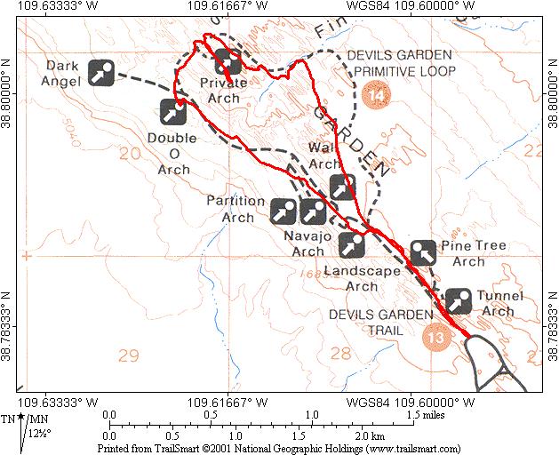
A map of Arches from the National Park Service Web Site can be loaded from here, but a warning, it is a pdf file 233K in size. Devil's Garden can be seen near the top of the map.
On our 2nd trip to the park, I bought the CD Rom to make a local map.
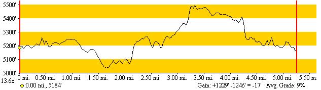
Here are the map and profiles of the Devil's Garden:
Note how the GPS track significantly deviates from the plotted trail....
For most of this hike, I had black & white film in my camera, and
have not yet scanned in those photos. David, however did have color which
have been scanned.
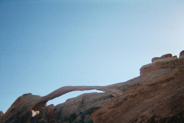
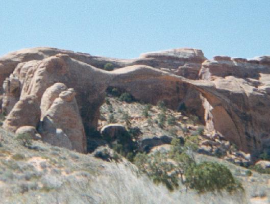
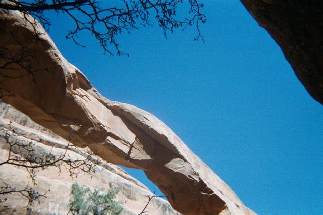
To show that we did see some arches during our hike, here is Landscape
Arch,
which we saw near the end of the hike.
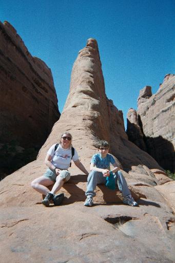
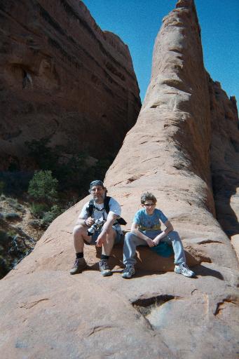
And to show that we all were actually on the hike:
The hike in Devil's Garden was on a narrow trail, that sometimes went over smooth sandstone, like in the pictures above. Getting a grip was not always easy.
Here is David by Private Arch (which I cropped):

And finally some other pictures:
The high point of the this hike was on a narrow ridge appropriately named "The Fin". This ridge was maybe 5 feet wide, with a 20 foot drop on one side and a couple of hundred foot drop on the other. It was extremely windy on the fin, with sand (imagine that) being blown into our eyes while we tried to negotiate this. Other than that, the trail was not too difficult.
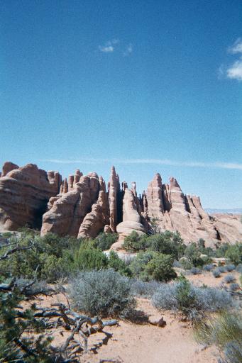
And finally some other pictures from this hike
The La Sal mountains: 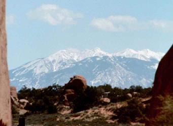
And a neat rock: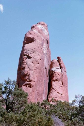
And now without further commentary, other pictures:
This page last updaed 04/16/2001